Seoul is not one city but a mosaic of districts, each with its own light, pace, and face. A photographer's map of the capital is less about administrative lines than about mood — where the old survives, where the new towers, and where the two collide.
The Han River is the great divide: the historic core sits to the north, the newer commercial city to the south — a division whose long history the Encyclopaedia Britannica traces in detail. Between the two run the mountains that Seoul was built around, still green above the rooftops. Here is how the ground tends to read through a lens.
The old downtown
North of the river, around the palaces and the central business core, the city layers its centuries in a single frame. Glass towers rise directly behind six-hundred-year-old gates; office workers cross plazas that were once royal ground. This is the district of contrast pictures — the reflection of a tiled roof in a curtain wall, a monk on a phone, a lunch crowd flooding a granite square. Light comes late into the narrow streets and leaves early, so the hard hours are morning and dusk.
Hanok lanes and the hill villages
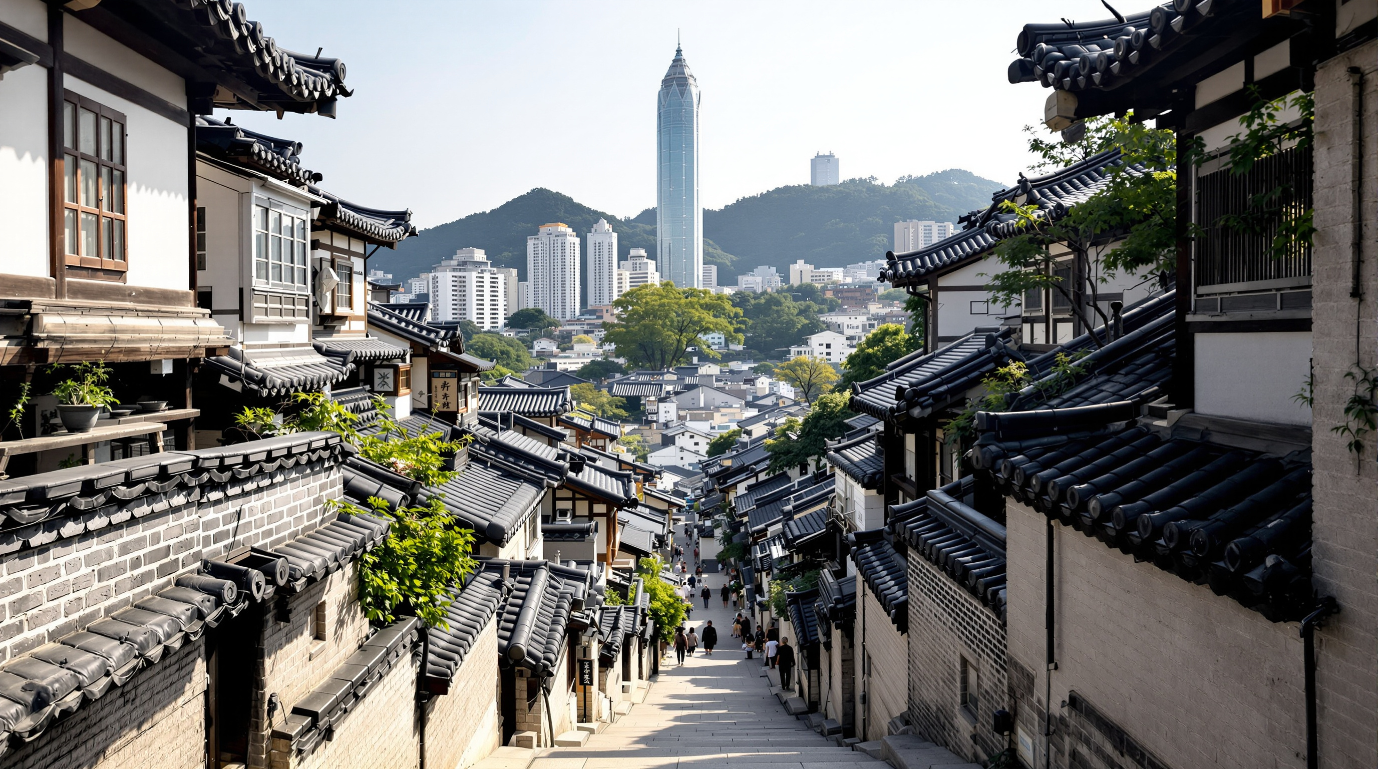
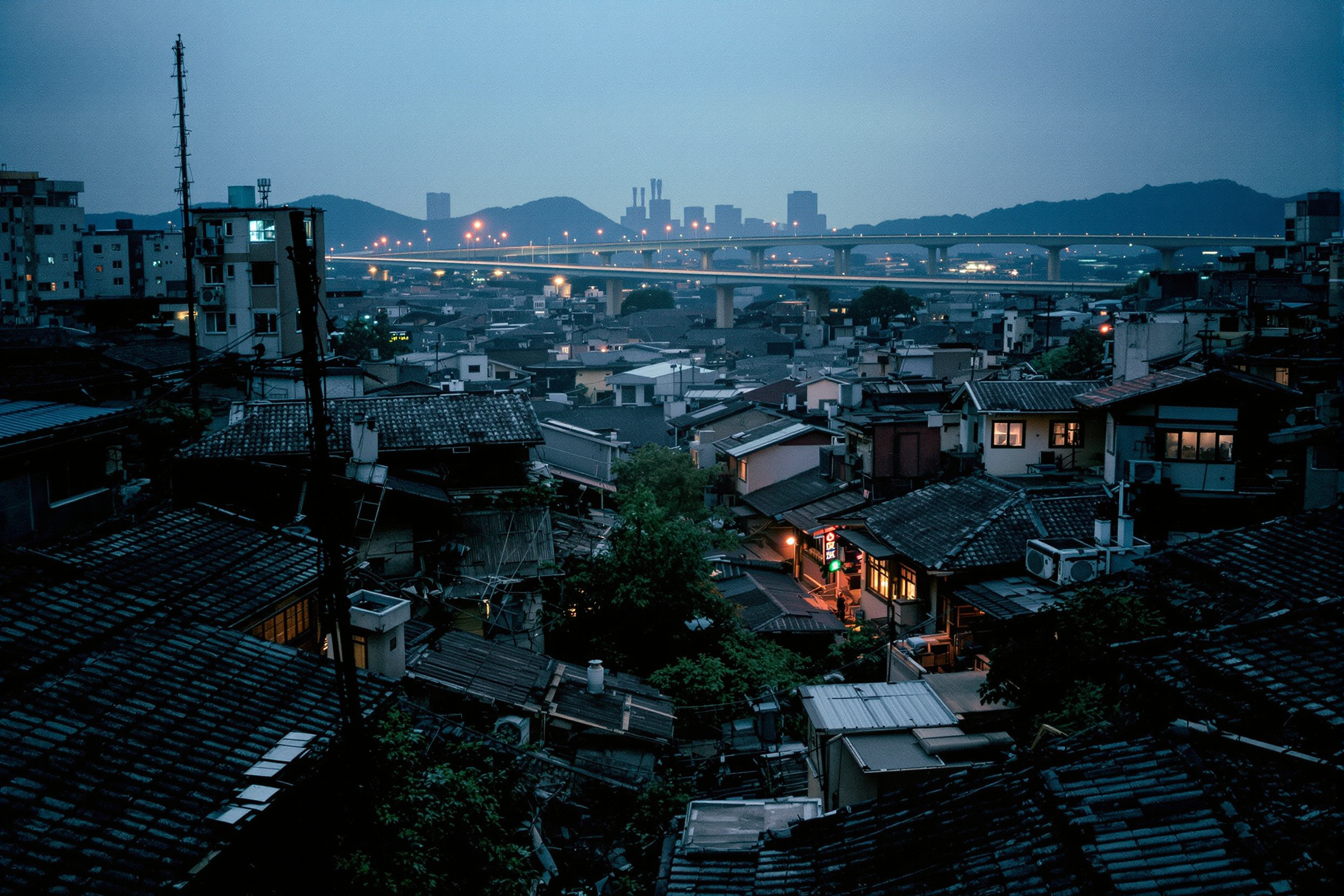
On the slopes above the old centre survive the hanok neighbourhoods — tight lanes of traditional tiled houses climbing the hillsides, with the modern skyline framed at the bottom of every stepped alley. These are the postcard streets, and they are also people's homes, which asks for a quiet camera and early hours before the crowds. The reward is Seoul's signature composition: curved black roof-tiles in the foreground, a wall of towers behind, the two eras held in one glance.
The student and art quarters
West and around the universities, the city gets young and loud — mural-painted alleys, buskers, print shops, cheap food, and a churn of energy that peaks after dark. This is the district for street portraits and motion: the frame is never still. Colour is everywhere and the etiquette matters more than ever, because so much of the life here is unguarded.
The riverside south
Across the water, the southern districts are the Seoul of the future tense — wide boulevards, corporate towers, luxury retail, and the engineered riverfront. It photographs cool and geometric: repetition, glass, scale, and the small human figure dwarfed by all of it. Come here for the architecture pictures and the sense of a city built at speed.
Where the districts meet
The most Seoul of all pictures are made not in the middle of a district but at its seams — where the old market backs onto a tower site, where a hanok lane spills into an eight-lane road, where a temple wall holds the line against the traffic. Edges are where a city argues with itself, and the argument is visual: scale against intimacy, curve against grid, tile against glass. Walk the borders rather than the centres and you find the frames that could only be here. The transitions also change fastest — a seam photographed this year may be gone the next — which is exactly why the daily record matters most along them. Keep a mental list of the places where two Seouls touch, and return to them often.
The mountains between
Threading all of it are the granite peaks — Seoul is one of the few megacities you can hike out of in an afternoon. From the ridges the whole mosaic resolves: north and south, old and new, the river holding the middle. It is the best vantage in the city and the subject of the photographer's guide. To see how these districts change through the year, read Seoul through the seasons; to follow the river that divides them, see the Han River.